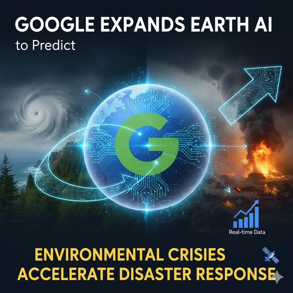
Google has broadened access to its artificial intelligence systems designed to forecast environmental crises, enabling businesses, municipalities and humanitarian groups to analyse satellite data and predict threats from floods to disease outbreaks.
The American technology company's Earth AI platform combines decades of geographical modelling with advanced predictive algorithms, allowing organisations to generate insights that previously required years of specialist research. The system currently provides flood forecasting information covering over two billion people globally.
During California's severe wildfires earlier this year, Google delivered crisis alerts from local authorities to 15 million Los Angeles residents whilst displaying emergency shelter locations through its Maps service. The company credits these capabilities to its geospatial AI models, which now extend beyond floods and fires to cover cyclones, air quality and other environmental phenomena.
Google's latest advancement introduces what it terms "Geospatial Reasoning"—a framework that automatically links different data streams including weather forecasts, population density maps and satellite imagery to address complex questions. Rather than simply identifying where a storm might strike, the system can simultaneously determine which communities face greatest vulnerability and what infrastructure sits at risk.
The non-profit organisation GiveDirectly now employs this capability, combining flood predictions with population information to identify recipients most urgently requiring direct financial assistance during disasters.
New features being rolled out to Google Earth users will enable instant object identification and pattern recognition from satellite imagery. Water utilities could detect dried riverbeds—helping predict dust storm risks during droughts—whilst analysts might identify harmful algae blooms threatening drinking water supplies, providing authorities time to issue warnings or shut down affected systems.
These experimental capabilities will become available to American Google Earth Professional users in coming weeks, whilst subscribers to the company's AI Pro and Ultra services gain immediate access with enhanced usage limits.
Google is also making Earth AI models directly accessible through its Cloud platform for approved testers, allowing businesses to combine proprietary data with Google's datasets for applications ranging from environmental monitoring to emergency response.
Early adopters demonstrate the technology's breadth. The World Health Organization's African regional office uses Earth AI's population and environment models alongside internal datasets to predict cholera outbreak risks in the Democratic Republic of Congo, informing decisions about water treatment, sanitation and vaccination programmes.
Satellite imagery providers Planet and Airbus apply Earth AI models to analyse the billions of pixels they capture daily—Planet examining historical imagery to map deforestation whilst Airbus detects vegetation encroaching on power lines to prevent outages.
Meanwhile Bellwether, an experimental unit within Google's parent company Alphabet, employs Earth AI to generate hurricane prediction insights for global insurance broker McGill and Partners, enabling faster claims processing so policyholders can commence rebuilding sooner.
The expansion reflects growing commercial and humanitarian interest in AI systems capable of processing vast environmental datasets to generate actionable intelligence—a capability particularly valuable as climate change increases the frequency and severity of extreme weather events.
Google positions the technology as training AI models to understand the physical world with the same fluency that large language models demonstrate in digital domains, supporting those developing solutions for public health, crisis response and community resilience.